ArcGIS Tutorial
My choice of ArcGIS (I was using version 8, newer version may be slightly different in menu) is simply because its availability and my own familiarity with this software. Even if you do not have ArcGIS, you may browse this tutorial to gain understanding on what you can do using GIS. I also provide a list of other GIS software both commercial and free version in the GIS Resources page.
ArcGIS is a product of ESRI . The latest version is available in three different editions under three different names:
- ArcView (simple, Standard edition)
- ArcEditor (functional, Professional edition)
- ArcInfo (advance; Enterprise edition)
Do not be confused with the name of the editions. The three editions above share the same architecture and have the same way on how to use. The differences are prices and more tools/functions.
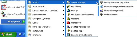
If you open the menu in ArcGIS, you may see many icons. The first question is, perhaps, which one to use?
Regardless your editions, ArcGIS will contain at least three main softwares
- ArcCatalog ,
- ArcMap , and
- ArcToolbox
ArcCatalog is similar to Windows Explorer. With ArcCatalog you may preview your GIS data in term of geography (map) or table. If your data contain 3D scene, you can use ArcCatalog to preview the content. You can create file, folder and meta-data of your GIS data using this software. If your data is a map file, you can double click to open it in ArcMap, otherwise, you can do drag and drop of your GIS data into ArcMap.
ArcMap is the main software that you use for GIS. Using ArcMap you can create and edit your map, layers, and charts. You may perform some analysis and query on your GIS data using ArcMap.
ArcToolbox is a collection of Analysis Tools (e.g. extract, overlay, proximity, statistics, surface cut and fill, volume and contour), Conversion Tools (i.e. import to / export from different type of files) and Data and Management Tools (e.g. Join tables, define projections, etc.)
If you ArcGIS contain ArcScene, it is useful for showing your map in 3 dimension. ArcScene is similar to ArcMap with more functional in 3D scene analysis, but you cannot create map in ArcScene.
The rest of this tutorial will cover only ArcCatalog and ArcMap since it is the main software of ArcGIS.
This tutorial is copyrighted .
Preferable reference for this tutorial is
Teknomo, Kardi (2015) Introduction to GIS. https:\\people.revoledu.com\kardi\ tutorial\GIS\