Triangulated Irregular Network Model


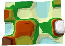
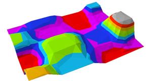
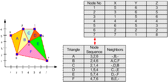
TIN or Triangulated Irregular Network stored GIS data for 3D surface model. The basic unit is a triangle. Because a triangle consists of three lines connecting three nodes, each triangle will have three neighbors (except those on the side or periphery). The triangle is represented by a sequence of three nodes. Each triangle may have other associated attributes such as population density, crime rate, etc. in another table.

This tutorial is copyrighted .
Preferable reference for this tutorial is
Teknomo, Kardi (2015) Introduction to GIS. https:\\people.revoledu.com\kardi\ tutorial\GIS\
