GIS Techniques
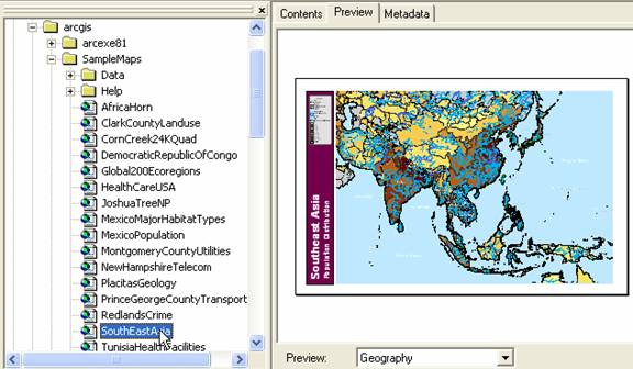
To demonstrate the basic GIS technique in a tutorial manner, we are going to use ArcGIS sample map of South East Asia . The sample map is usually located in directory ArcGIS/SampleMaps/ with file name SouthEastAsia.mxd
Contents
At the end of this basic ArcGIS technique, you will be able to
Extract part of the map
Query by AttributeCreate Choropleth map
Create layer from selection
Convert Layer to Shape File
Create a New Map from Extracted Layers
Showing only selected layers or Showing several layers together
Create Dot Density map
Change Symbol of Points
Make Buffer
Perform Geoprocessing
Add Field and Calculate Value of Table
> Derive Statistics, perform Sort and Summary
This tutorial is copyrighted .
Preferable reference for this tutorial is
Teknomo, Kardi (2015) Introduction to GIS. https:\\people.revoledu.com\kardi\ tutorial\GIS\